♦ Geological Survey
We are acknowledged as one of the leading names in the industry for providing best quality Geological Surveying Services. Our expert professionals adopt a staged project implementation process to ensure that the project is delivered on time, to budget and is fully operational. We value the money of our clients...
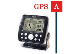
GPS Time Synchronization Equipment which are specially designed to ensure high performance and efficiency. These are widely used by our customers in a wide number of Time Reference Applications, such as:
» SCADA
» Energy Management System
» Dynamic Demand Management System
» Energy Meters - HT Consumers Et Feeders
» ABT / Boundary meters
» Disturbance Recorders
» Event Loggers
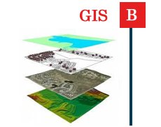
Geographical Information System (GIS) integrates hardware, software and data in one powerful tool that helps describe and analyze a site geographically. GIS helps users visualize, understand and interpret complex data and other factors that interact at a particular site. Oberoi designs and implements customized GIS projects, providing our clients complete solutions that are unique to their needs.
Combining our planning, surveying, engineering, and IT skills, Oberoi offers a wide range of Geographical Information Systems services. We have the capability of assembling, storing, manipulating, and
displaying geographically referenced information. Through the ability to access, manipulate, analyze and map large quantities of data, we are able to perform a wide range of planning functions. This cutting-edge discipline is reducing the level of uncertainty inherent in land development and helping to bring the greatest value to our clients' projects.
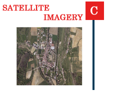
Trackmate delivers the most current and comprehensive sub-meter earth imagery commercially available, with new images being collected and uploaded every day. Images can be taken in a variety of forms so as to detect specific information about the earth, vegetation and other types of land cover with high Geometric Resolution. Geometric resolution refers to the satellite sensor’s ability to effectively image a portion of the Earth s surface in a single pixel and is typically expressed in terms of Ground Sample Distance.
The instruments involved in Satellite Imagery are based on the fundamental of detection of energy emitted or reflected by an object under consideration.
It allows the measurement and monitoring of surface electromagnetic variation, and as such this data provides a unique way of viewing the landscape.
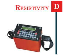
Keeping in mind the various requirements of the customers, we are involved in offering best quality of Resistivity Services. These Resistivity Services are known for their timely execution. Further, our talented team of professionals provides these Resistivity Services to clients as per their requirements.
Features:
» Made from high grade materials
» Long life
» Easy to install
